Closing in
0
...
Menu
Search
LATEST
POPULAR
AIRCRAFT FOR SALE
SECTIONS
Business Aviation
Aerospace & Defense
Rotorcraft
General Aviation
FutureFlight
SUSTAINABILITY & ENVIRONMENT
CHANNELS
Aircraft
Maintenance
Avionics
Charter & Fractional
Safety
All Categories
News Archive
Newsletter Archive
MORE
Print Archives
Expert Opinion
In-Depth Reports
Videos
Webinars
Airshows & Conventions
Aviation Events
Compliance Countdown
Whitepapers
ABOUT
About AIN
Our Writers
History
Advertise
Contact Us
Subscribe
LATEST
POPULAR
AIRCRAFT FOR SALE
SECTIONS
ABOUT
Search
Subscribe
Search
Unmanned Aerial Vehicles
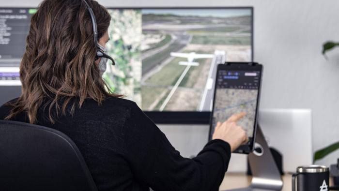
DJI Improves Drone Geofencing
The system will provide better airport protection.
Share
Post
Share
Print
Copy
Email
By
Mark Huber
• Contributor
October 24, 2018
More In Unmanned Aerial Vehicles
FAA’s BVLOS Overhaul Approaches Finish Line
Industry braces for historic rewrite of low-altitude rules
Unmanned Aerial Vehicles
Air Rolls Out First Production Air One Cargo eVTOL Aircraft
Air One Cargo advances from prototype to production
Unmanned Aerial Vehicles
AlarisPro Users Can Access Performance Vector Benefits
SafetyPoints can be applied towards annual software platform costs
Unmanned Aerial Vehicles
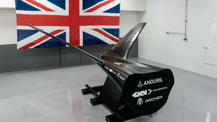
Archer Aviation Establishes UK Aerospace Engineering Hub
U.S. company has recruited Vertical Aerospace’s engineering director
Unmanned Aerial Vehicles
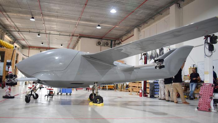
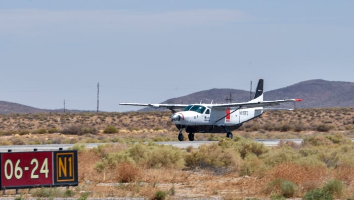
NASA Taps Reliable’s Pilotless Caravan for UAS Trials at Airports
Flight data will inform performance standards for uncrewed aircraft systems
Unmanned Aerial Vehicles
Florida Strives To Be Global Leader on AAM
State allocated $4 billion to build infrastructure for eVTOL air-taxi networks
Unmanned Aerial Vehicles
Beta and Near Earth Autonomy Partner on Uncrewed Alia Aircraft
Autonomous, hybrid-electric Alia MV250 flight tests slated for first half of 2026
Unmanned Aerial Vehicles
Cranfield Aerospace Unveils Stringray Multi-Role Drone
The UK start-up is backed by Abu Dhabi's Strategic Development Fund
Unmanned Aerial Vehicles